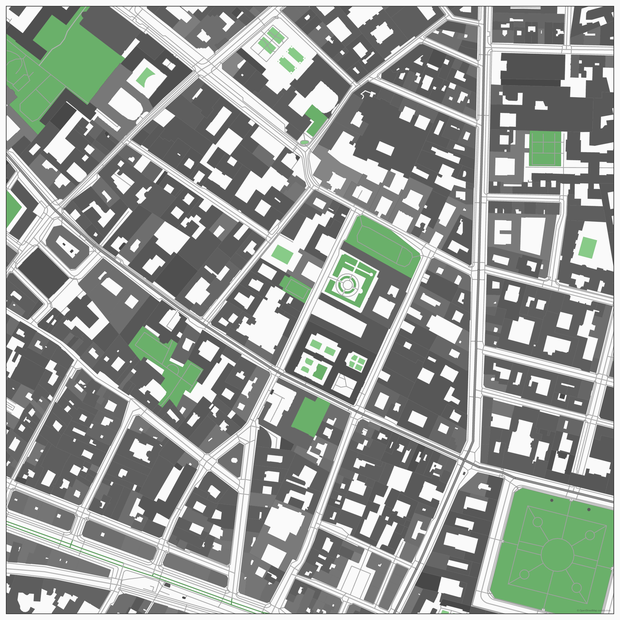
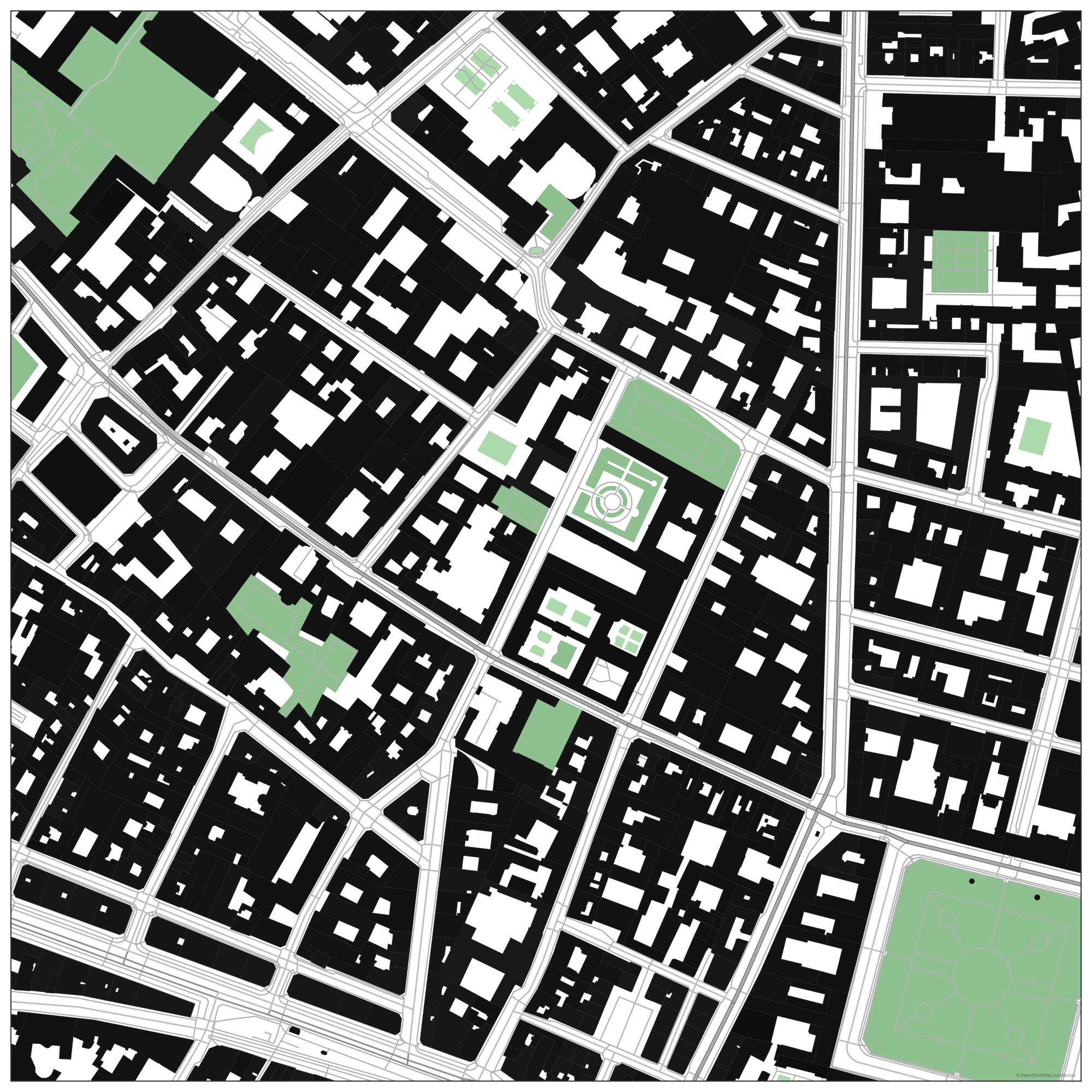
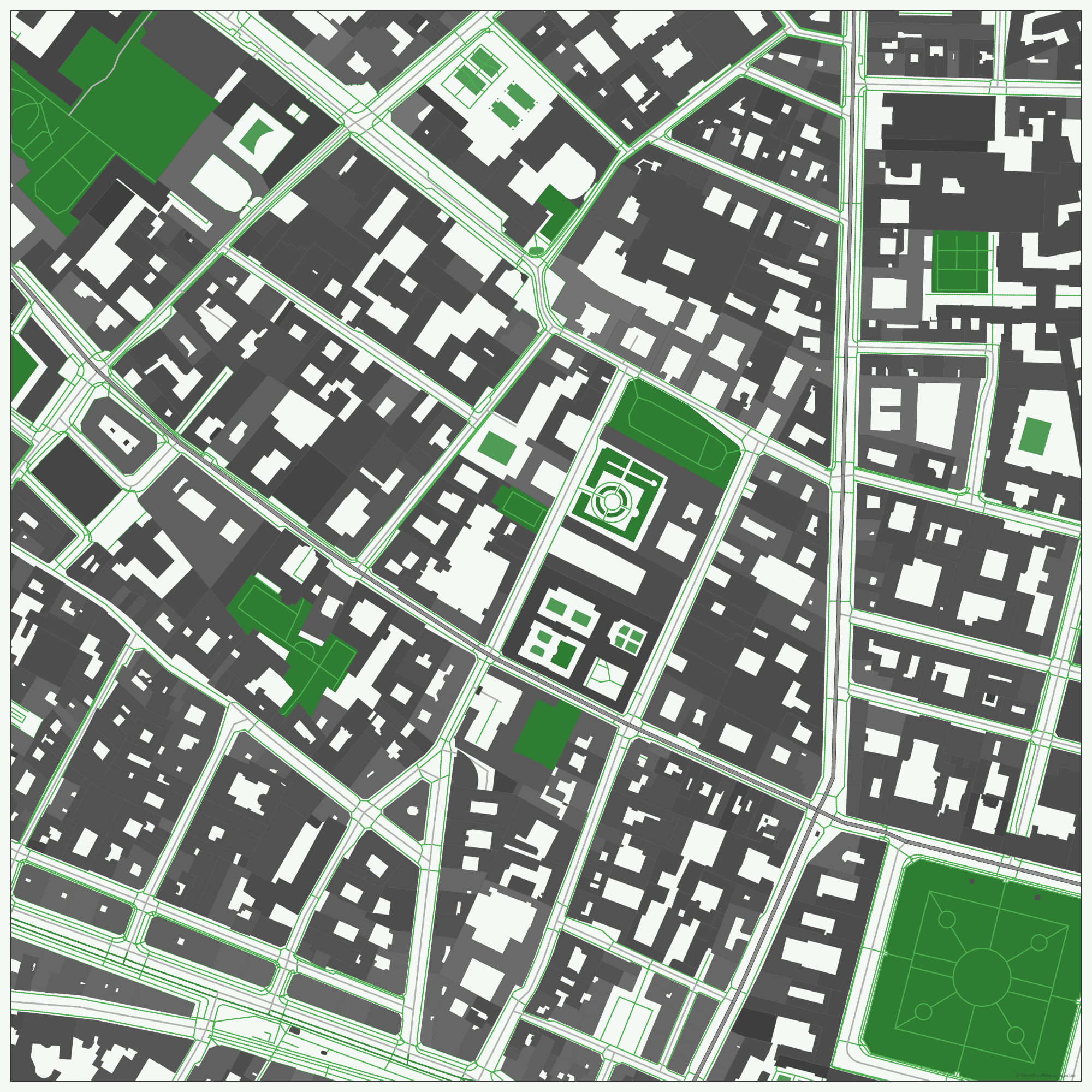
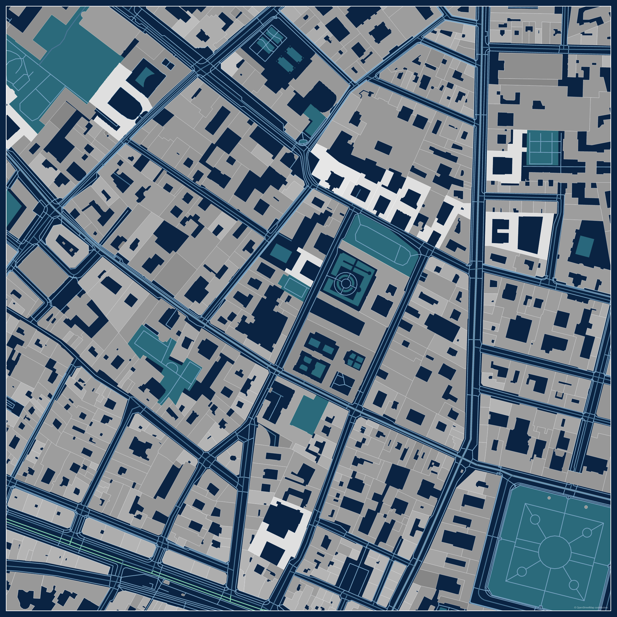
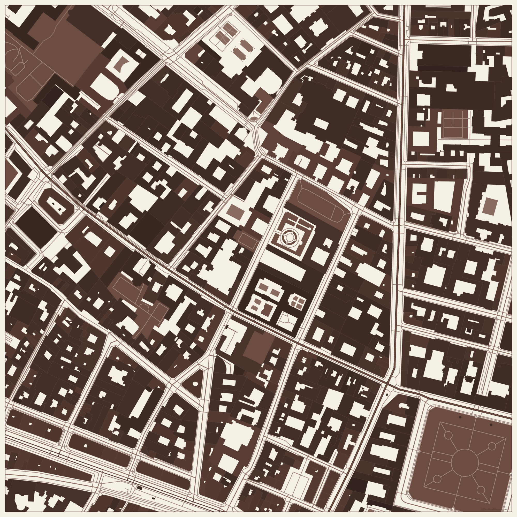
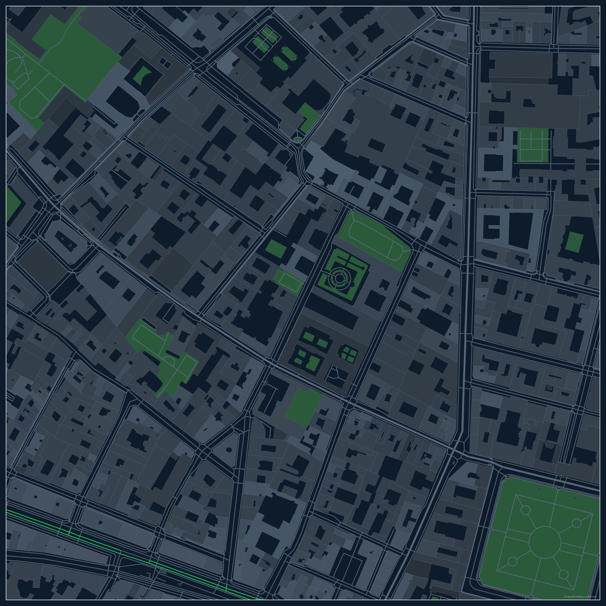
Adjust the study area and inspect the available map features.
Export SVG for vector editing or PNG for an image workflow.
First-party ArchiKEK example, generated from a September 9, 2026 source snapshot. Data coverage varies by place. This is a styled context drawing, not a survey or a measured environmental analysis.