Real example / Eixample, Barcelona
Figure-ground map generator
Read buildings and open space in one drawing, then bring the result into your presentation.
No login for the sample. SVG + preview + source notes. Custom exports follow current plan limits.
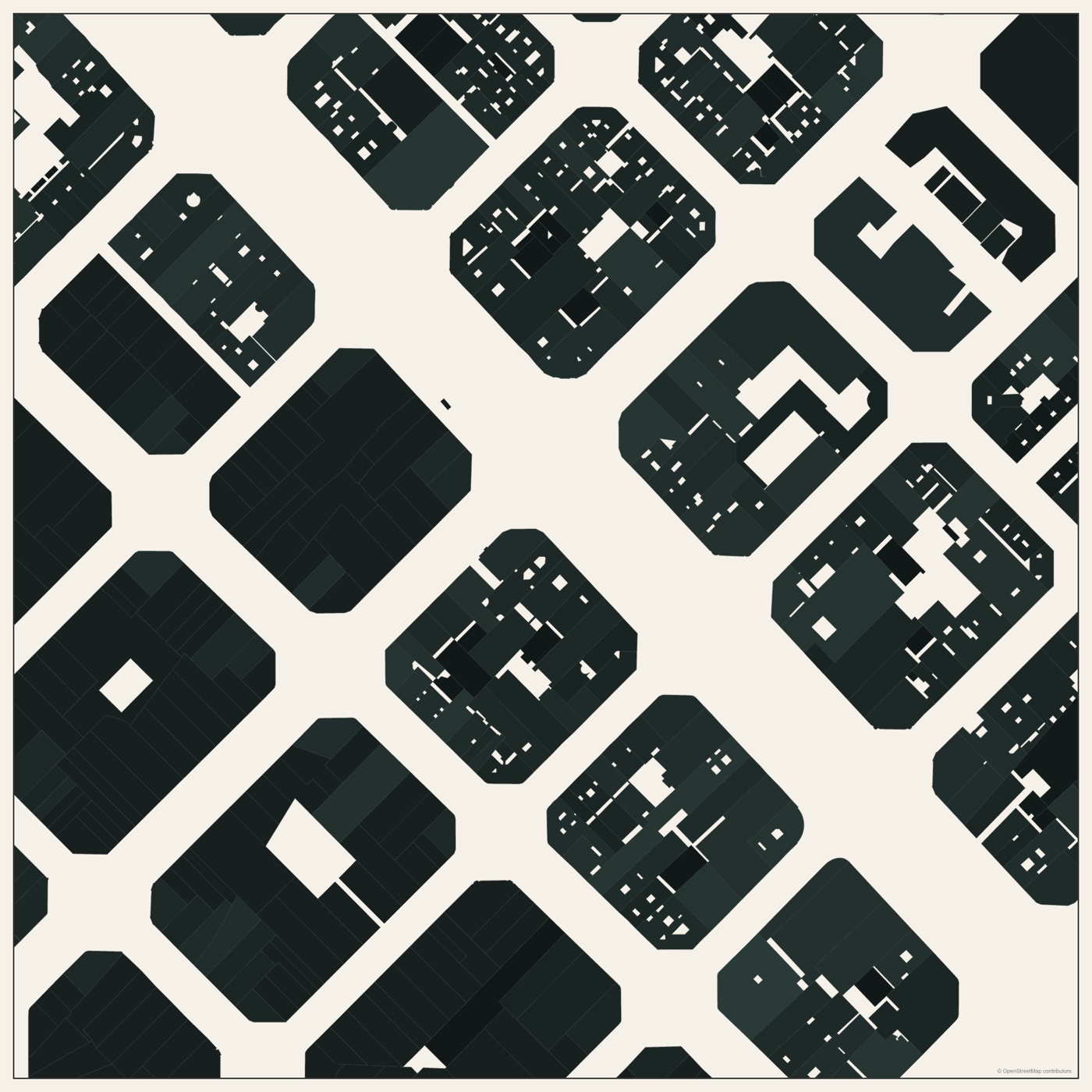
Try the workflow
- Choose a study area that includes your site and its surrounding blocks.
- Select a figure-ground appearance and inspect which features remain visible.
- Export the drawing and add the site, north direction and scale appropriate to your project.
Watch the relevant steps
What the sample does and does not show
Mapped building footprints describe built form. They do not establish public access or identify accessible building interiors.
Map data © OpenStreetMap contributors. This is a fixed real-location example. Review scale, source coverage and assumptions before delivery.
Compare current export plans →